By now you will know that I didn't end up riding much of the route because of COVID. So my reporting on the route is mostly second hand. Maybe one of the riders will step up and expand on my comments below.
First of all, the overall route was a success! As far as I know there were only three small defects, one of which seems to be a recent road closure and one of which was a temporary road closure. I'll describe each of them below.
Second, the route was entirely suitable for ebikes. Despite some range anxiety, there were probably only three days where a top-up charge was required. In each case this was readily available at restaurants along the route. Ebikes are common enough now that "plugging in" is normal.
Third, Italian drivers lived up to my expectations in terms of safety and courtesy. Very, very few close passes, no abuse, plenty of patience. Even Rome felt relatively safe and there are far more bikes on the streets now than there were in previous visits.
From Galeata to Sansepolcro. On this section, use the larger road instead. The minor road becomes a gravel road, then a track, then blackberries and nettles. We had to push our bikes uphill across a field to regain the road.
DO stop for refuelling at San Piero in Bagno, it is a fair climb to the next shop at Verghereto. Then at Montecoronaro we had elected to use a section of road marked as closed. It is perfectly fine and there were other groups of cyclists using it. No cars made it a really fun descent. This might change in future but I doubt it.
After this my reports are second hand... I'll just report the defects as I understand them.
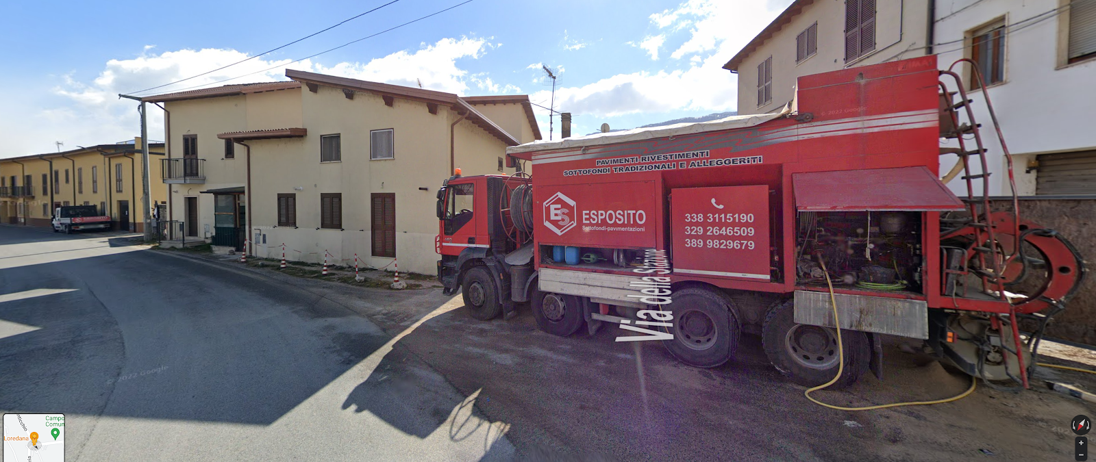
Keith: From L'Aquila to Sulmona: near Fossa, about 13km out, the planned route cut between some buildings but the road had been since blocked off as a construction site. We tried the side road to the right towards Fossa but it was narrow and hard, so we went back and went around to left.
Google Street View shows Via Della Stazione going between buildings. That was blocked off, where truck is
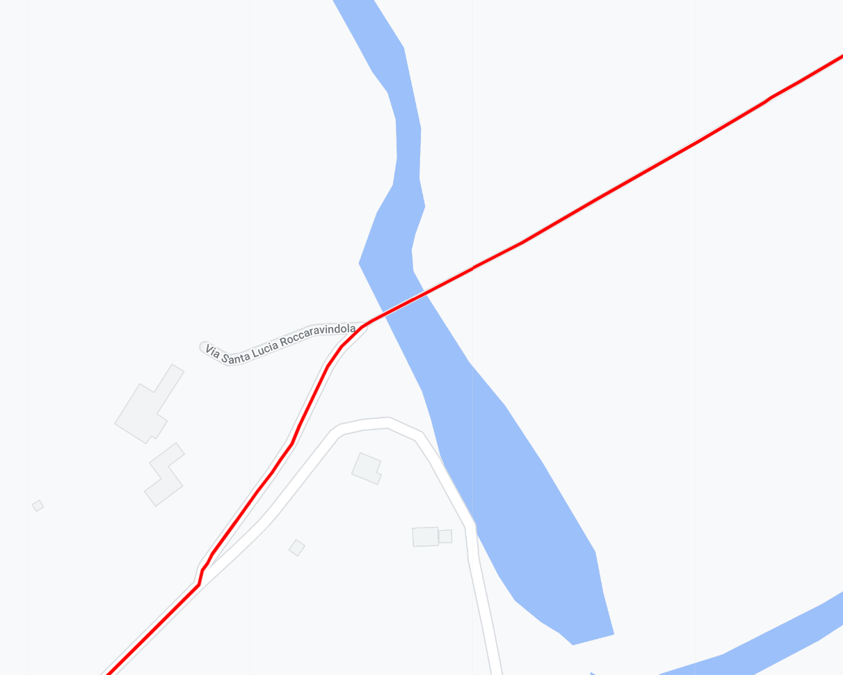
From Colli a Volturno to Benevento. A bridge is closed. Have to stay on the main road instead. I think this is the spot.
From Accadia to Lavello. A temporary road closure, not sure where it is... Keith?


Sorry, I only just saw this! Will add comments soon, when home in front of big screen
ReplyDeleteBetween Colli a Volurnto en route to Benevento, Komoot had said the route done on Garmin wouldn't work because road closed. It was a road across a dam wall, at https://www.google.com/maps/place/41%C2%B033'16.5%22N+14%C2%B008'32.1%22E/@41.5545722,14.1400698,17z/data=!3m1!4b1!4m5!3m4!1s0x0:0x4daff4c01fb8dce0!8m2!3d41.5545722!4d14.1422585
ReplyDelete